A GPS app is designed to get you to your destination as quickly as possible. Expedition navigation has a different goal — navigators must understand the landscape itself and determine whether the path shown on a screen truly reflects what exists on the ground.
For the average driver, navigation has become almost passive. You punch an address into a dashboard screen, a blue line appears, and an algorithm guides you to your destination. But in remote backcountry travel, the blue line is only one layer of the story.
For their second Weekly Challenge, the Nomad Teams are focusing on what expedition leaders often call forensic navigation — the process of reconciling historical maps, satellite imagery, terrain, and water movement to determine the best route through country where digital maps may be incomplete, outdated, or misleading. A good navigator will use all their tools — paper maps, satellite imagery and their own reading of the topography — to determine whether a route is practical, legal, and safe.
Building the Complete Picture
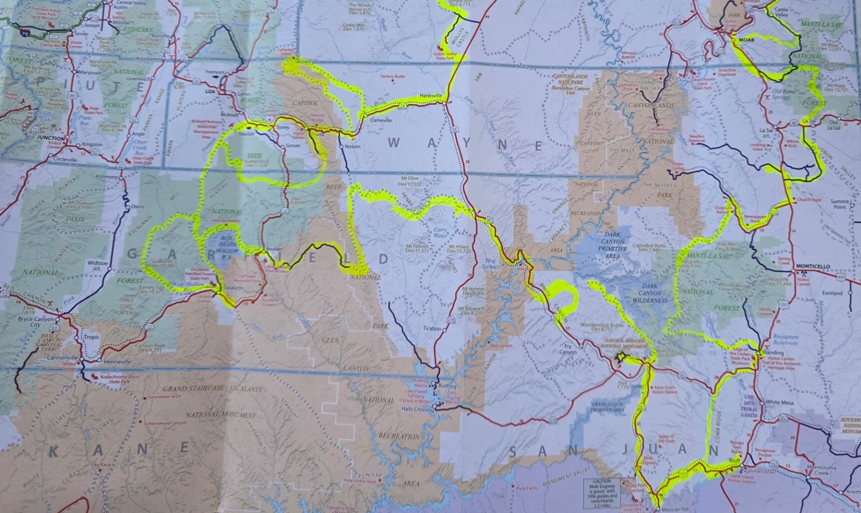
When an old road disappears from a navigation app, or a satellite image suggests a route is blocked, experienced navigators don’t immediately turn around. Instead, they begin investigating the landscape itself.
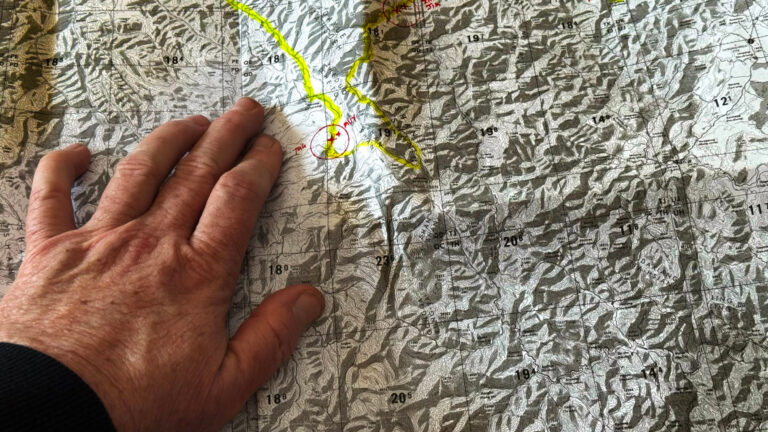
The first layer of that investigation is the topographic map, which serves as the structural framework of the terrain. Contour lines reveal the shape of the land, allowing navigators to identify ridgelines, saddles, drainages, benches, and natural travel corridors that have existed for generations. Long before highways were constructed, people, livestock, wagons, and early vehicles naturally followed these features because they offered the path of least resistance across difficult country. Even when a road no longer appears on a modern navigation app, the terrain often reveals why it existed in the first place.
Once the overall structure of the landscape is understood, navigators compare those topographic maps with current satellite imagery. Satellite photographs provide a much more recent picture of the terrain and often reveal changes that maps cannot capture. Washouts, landslides, dense vegetation, rockfall, or flood damage may explain why a route has become difficult or impassable. At the same time, satellite imagery can also reveal faint traces of historic wagon roads, mining routes, or old county roads that remain physically visible even if they no longer appear in many digital mapping platforms. By comparing both sources together, navigators gain a much clearer understanding of what is actually waiting on the ground.
The final layer is hydrology, or the study of how water moves through the landscape. Water is one of the most powerful forces shaping backcountry travel because it continually alters roads, trails, and drainage crossings. By studying the way contour lines bend around valleys and stream channels, experienced navigators can determine the direction of water flow and identify locations where erosion, standing water, mud, or flash flooding are most likely to occur. Understanding these drainage patterns allows teams to anticipate obstacles long before they arrive, helping them avoid costly delays or dangerous situations.
The Map Is Never the Territory
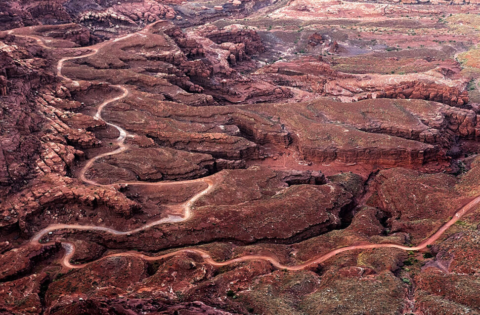 One of the most important lessons in forensic navigation is recognizing the limits of any single map. A standard topographic map with forty-foot contour intervals may show what appears to be open, gentle terrain between contour lines, but that same area can still contain steep ledges, gullies, exposed rock, or deep washouts that never appear on the map. Satellite imagery helps fill in those missing details, while an understanding of the terrain helps explain why those features exist. Rather than assuming the shortest route is the fastest, experienced navigators know that an established trail—even if it winds around a mountain and takes three times longer—is almost always the smarter, faster, and safer line.
In expedition travel, success belongs not simply to those who can follow a map, but to those who understand the story the landscape is telling.
Master the Map. Respect the Terrain. Follow the Rally.
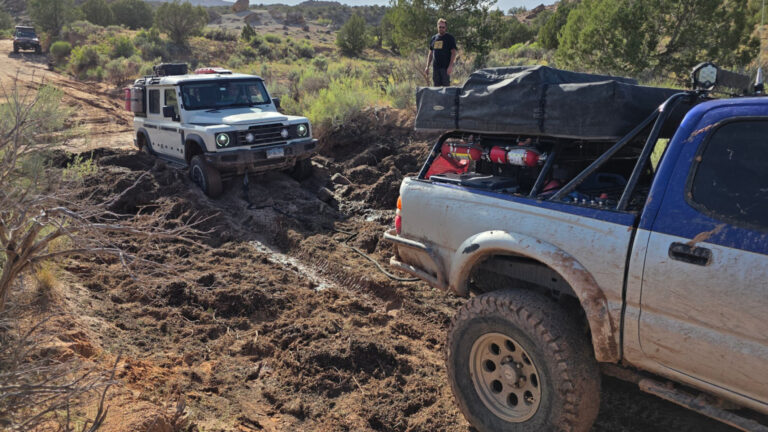
Nomad Rally Highlights: Week Three
By the end of Week Three the Nomad Teams were navigating unpredictable mountain weather, solving complex navigation challenges and practicing responsible land stewardship…
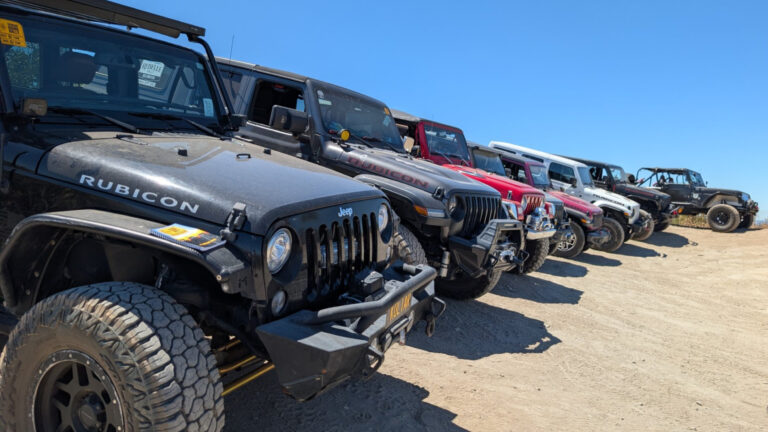
Nomad Rally Highlights: Week Two
As Week Two of the 2026 Nomad Rally unfolded, the true scale of this multi-state adventure came into focus…
Weekly Challenge: Reading Topo Maps
Paper maps may seem old-school in today’s world of GPS navigation, but understanding how to read a topographic map remains one of the most valuable skills an overlander can develop…