When planning a route for a Nomad Rally Overland Stage, a straight line is a fast way to lose points. A winning strategy is finding a path that hits mud, rock, sand, and a National Park all in a single loop.
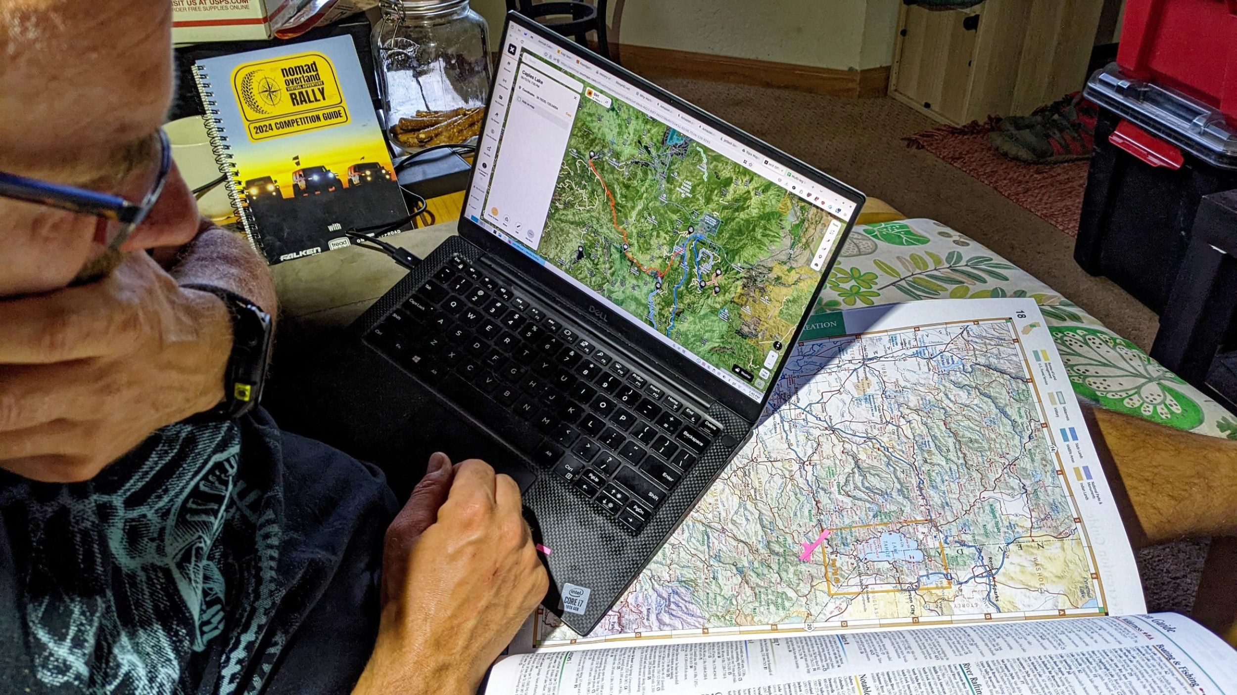
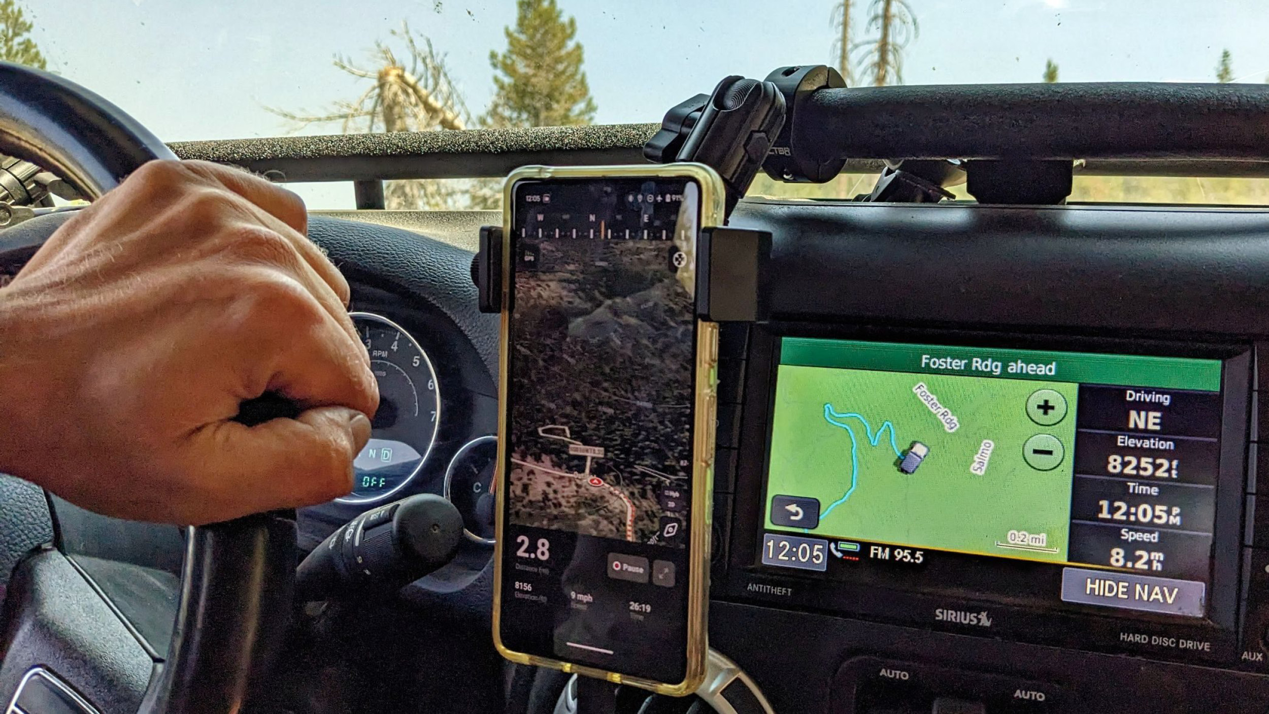
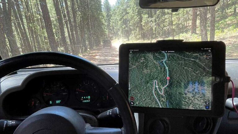
Unlike traditional rallies where teams follow a pre-determined roadbook, Nomad competitors are the absolute architects of their own journeys. Armed with OnX Offroad Maps to build their routes and log their tracks, teams must design a multi-layered plan that balances terrain objectives, land-use requirements, fuel range, and timing in order to maximize their score for each Stage.
Creating a Winning Nomad Route
To maximize their score, Nomad Teams aren’t just driving from point A to point B. They are actively hunting down specific public land designations and distinct terrain types as they move around the country. Over the course of the event, competitors must successfully navigate a highly specific set of geographic and topographic targets.
The Land Designations: Teams must deliberately route themselves through a diverse mix of public lands. The baseline requirement includes two National Parks, one State Park, and four additional types of public land or established off-road parks, such as National Forests, BLM land, State Game Lands or National Wildlife Refuges. Successfully incorporating all of these locations into an efficient route requires careful planning and often significant detours.
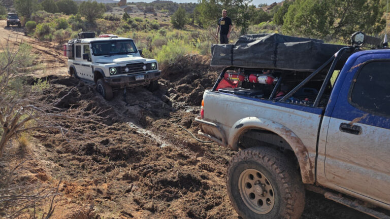
The Terrain Elements: A team’s recorded track, supported by clear date-stamped photographic evidence, must prove the vehicle successfully traversed five distinct terrain types: soft sand, deep mud, technical rock terrain, a steep hill climb and a safe and responsible water crossing. The challenge isn’t simply finding these obstacles—it’s incorporating them into a route that remains efficient, legal, and achievable within the team’s timeline.
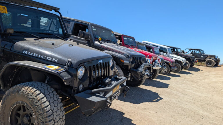
The “Named” Trail Milestone: During the 10-week competition, every team must complete at least one iconic, recognized off-road trail. This milestone forces a strategic choice. Teams can tackle a legendary technical challenge such as Hell’s Revenge or the Rubicon Trail, or opt for a scenic but demanding route like Utah’s White Rim Trail. Each option carries its own risks, rewards, and logistical considerations.
The PhotoQuest Overlay: The route-planning challenge extends beyond driving. Teams must also consider wildlife habitats and ecosystems when building their routes. Savvy navigators study regional environments, migration corridors and riparian zones intentionally passing through areas where they have the best chance of documenting some of the highly elusive species for the PhotoQuest.
The Invisible Variables: Designing a successful route requires looking far beyond the digital lines on a map or tablet screen. Vehicle weight, terrain, weather, and fuel consumption all play a major role in route planning. A fully loaded expedition vehicle traveling through deep sand or climbing steep grades can consume fuel at dramatically higher rates than it would on the highway. Competitors must constantly evaluate fuel range and identify points where turning around may no longer be practical.
Every route decision must account for available fuel, resupply opportunities, and the possibility of unexpected detours.
No Plan Survives the Backcountry
The true test of a team’s route strategy isn’t when everything goes according to plan—it’s how they react when it doesn’t.
Because teams plan these large loops well in advance, unexpected obstacles are inevitable. The real drama happens when a chosen corridor vanished in real-time. A high-altitude shelf road blocked by lingering snow, a seasonal USFS gate closure, or a washed-out river crossing can instantly eliminate a carefully planned route.
When a route collapses in the field, successful Nomad Teams rely on redundancy and adaptability.
The Digital-to-Paper Pivot: If electronic navigation systems fail or connectivity becomes unreliable, teams must be prepared to navigate using traditional maps and backup navigation methods.
The Tread Lightly! Mandate: Finding an alternate route never means creating one. Teams must stay on legal, established routes and respect land-use regulations, even if doing so means sacrificing hours of daylight.
Fuel Math Adjustments: A forced 40-mile detour around a washed-out bridge can dramatically alter fuel projections. Teams must continuously reassess range, consumption rates, and remaining reserves to ensure they can safely complete the route and won’t risk stranding themselves in the backcountry.
The Route Beyond the Map
Ultimately, the most successful Nomad Teams are the ones who build redundancy into every aspect of their planning—from equipment and navigation tools to fuel strategy and route options. They don’t just plan for the route they hope to drive; they prepare for the trail closures, mechanical setbacks, and changing conditions they know are inevitable over a ten-week campaign.
By mastering their mapping tools and maintaining the flexibility to adapt in real time, without sacrificing critical terrain objectives or putting themselves at risk, these competitors prove that overland endurance is won as much through strategy as it is through driving skill. In the Nomad Rally, success isn’t determined solely by horsepower, tire choice, or vehicle capability. It’s earned through preparation, adaptability, and smart decision-making long before the tires ever leave the pavement. The Nomad Rally is far more than a test of vehicles and terrain—it’s a 10-week game of chess played across the American backcountry, where the board is constantly changing and every move matters.
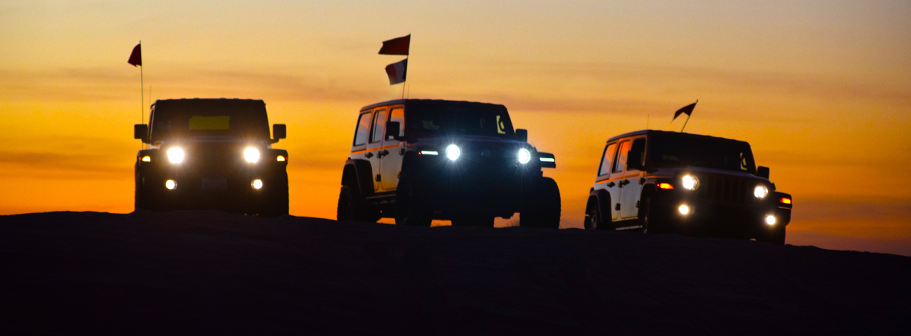
Nomad Rally Highlights: Week Three
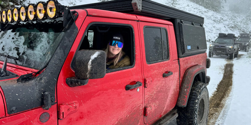
By the end of Week Three the Nomad Teams were navigating unpredictable mountain weather, solving complex navigation challenges and practicing responsible land stewardship…
Beyond the Dot: Ground Truth
Navigators must understand the landscape itself and determine whether the path shown on a screen truly reflects what exists on the ground…
Nomad Rally Highlights: Week Two
As Week Two of the 2026 Nomad Rally unfolded, the true scale of this multi-state adventure came into focus…